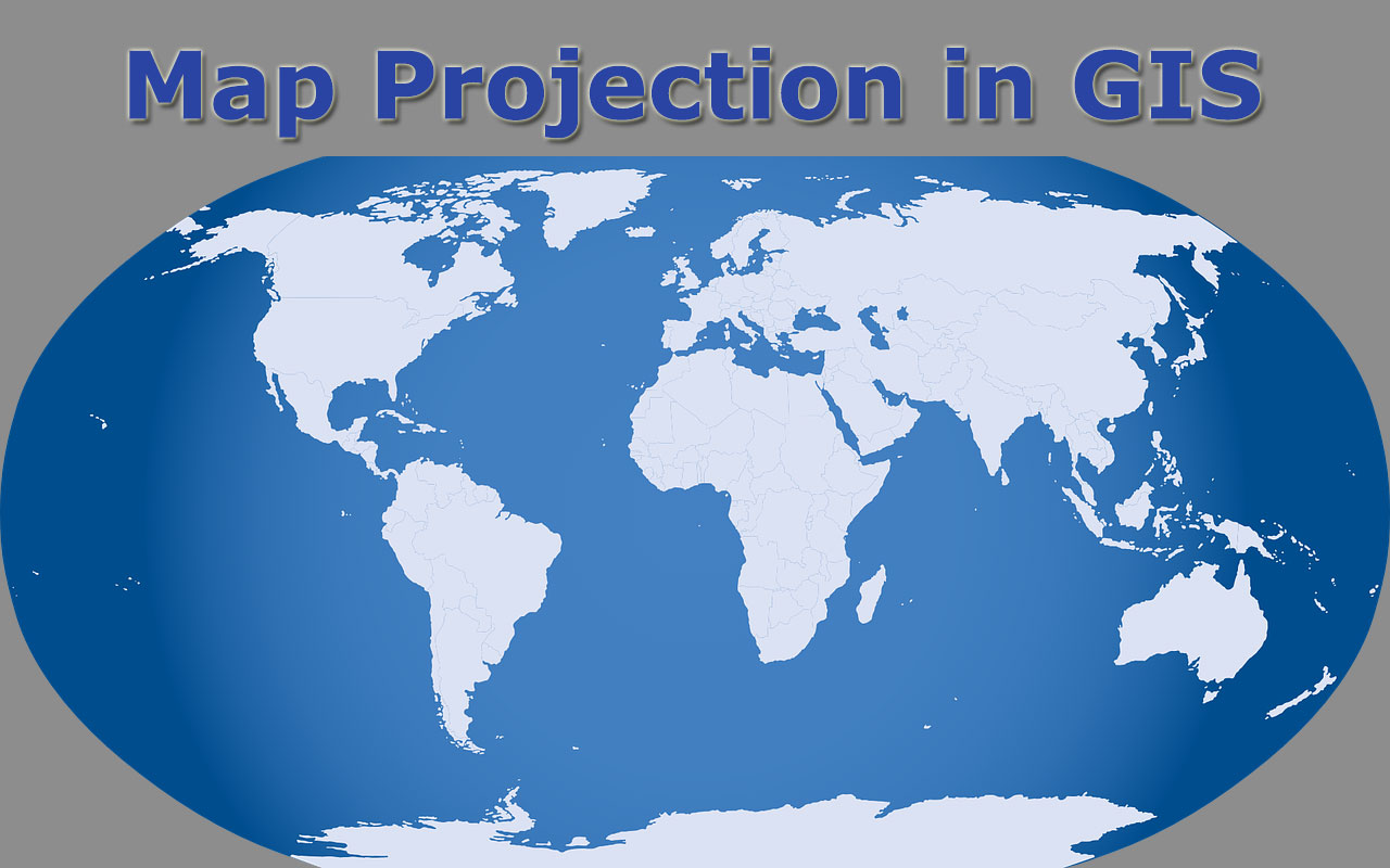
- What is map projection and why is it necessary for HD Maps?Map projection is the mathematical method of transforming the spherical Earth's 3D surface onto a 2D plane. It's essential for HD Maps because it allows us to display geographic data on screens and print, making navigation, analysis, and visualization possible, despite introducing some unavoidable distortion.
- How do different map projections affect the accuracy of HD Images on Maps?Different projections preserve different properties like area, shape, distance, or direction, but never all simultaneously. This means an HD Image on a map will show varied degrees of accuracy depending on the chosen projection, impacting how features appear in terms of size, form, and relative position.
- Which map projection is best for localized HD mapping and navigation?For localized HD mapping and navigation, projections like Universal Transverse Mercator (UTM) are often preferred. UTM divides the Earth into zones, minimizing distortion within each zone, making it highly accurate for specific regional areas and critical for precise local routing and surveying.
- Can map projections create misleading perceptions of landmasses in HD Maps?Yes, absolutely. Projections like the Mercator can significantly inflate the apparent size of landmasses closer to the poles (e.g., Greenland appears much larger than Africa). This can lead to distorted perceptions of geographical scale and importance in HD Maps if not understood.
- Are map projections still relevant with modern GPS and digital HD mapping technology?Map projections are incredibly relevant. GPS provides precise coordinates (latitude/longitude), but to visualize these on a screen or map, they must be projected onto a 2D surface. Modern digital HD mapping continuously uses projections to render data and ensure consistent display across devices.
- How do interactive HD Maps allow users to switch between different projections?Many advanced interactive HD Maps or Geographic Information Systems (GIS) software allow users to dynamically switch between different projections. This feature helps visualize data from various perspectives, analyze specific properties without distortion, and understand the impact of projection choices on spatial relationships.
- What future innovations are expected in map projection for HD mapping?Future innovations in map projection for HD mapping are likely to focus on adaptive projections that dynamically adjust based on zoom level or user location, minimizing distortion in the area of interest. We can also expect more sophisticated 3D mapping and augmented reality integrations that seamlessly blend projected and real-world views.
Dive into the world of map projection and understand how our 3D Earth gets flattened onto 2D screens and paper. This essential guide breaks down the complex science behind displaying geographic data accurately for navigation gaming and scientific research. Discover the different types of projections from Mercator to Robinson and learn why choosing the right one is crucial for everything from planning your next road trip on a Local MAP to analyzing global climate trends. We cover the impact of distortion the historical context and the modern applications that Gen Z and Millennials rely on daily. Get ready to explore the foundational principles that power your favorite digital Maps and location-based services ensuring you are equipped with the knowledge to interpret geographic information like a pro in 2026. This content is packed with navigational and informational insights.
- What is the primary purpose of map projection in digital maps? - The primary purpose of map projection is to mathematically translate the Earth's 3D curved surface into a 2D flat representation for digital maps. This allows us to view, print, and analyze geographic data on screens and paper, enabling navigation and spatial analysis across various platforms while managing inherent distortions.
- How does map projection affect the perceived size of continents on a map? - Map projections frequently distort the perceived size of continents, especially those far from the equator. For example, the common Mercator projection significantly inflates the area of landmasses closer to the poles, making countries like Greenland appear much larger than their true relative size compared to equatorial regions like Africa.
- Which map projections are commonly used for local area mapping and why? - For local area mapping, Universal Transverse Mercator UTM and State Plane Coordinate Systems are commonly used. These projections minimize distortion within small, localized zones, making them highly accurate for detailed surveys, engineering projects, and precise navigation in specific regions. They are crucial for local city planning.
- What types of distortion can occur when using different map projections? - Map projections can introduce various types of distortion, including changes in area, shape, distance, and direction. It's impossible for a 2D map to perfectly preserve all these properties simultaneously from the 3D Earth, so cartographers choose projections that minimize distortion for a specific purpose.
- Are map projections still relevant for modern GPS navigation systems? - Yes, map projections are absolutely relevant for modern GPS navigation systems. While GPS receivers provide precise latitude and longitude coordinates, these coordinates must be projected onto a 2D map display to be visually interpreted and used for routing, planning, and understanding spatial relationships on your device.
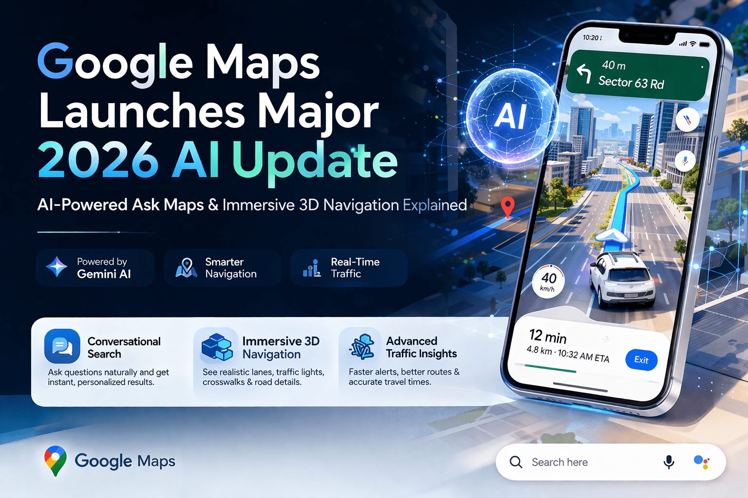
- How do mapping applications like Google Maps choose their projections? - Mapping applications like Google Maps often use a variation of the Mercator projection for global views, particularly the Web Mercator projection. This choice is practical because it preserves angles locally, which is beneficial for navigation and ensures consistent rendering of map tiles across different zoom levels and devices.
- What is the historical significance of map projections in cartography? - Map projections hold immense historical significance, having enabled seafaring, exploration, and the accurate demarcation of territories for centuries. From early attempts to represent the world to advanced mathematical models, projections have shaped our understanding of geography, facilitated global trade, and influenced geopolitical perspectives throughout history.
Ever wondered why the world map in your classroom looked a bit off compared to your phone's GPS? That's map projection at work! In 2026, understanding how our spherical Earth is represented on a flat surface is more crucial than ever for navigating our digital world. From gaming to geo-location apps, map projections are the unsung heroes making your Local MAP experience seamless and accurate. This quick guide will demystify the science behind your digital Maps, giving you the insights you need to confidently explore.
Frequently Asked Questions
Where can I see map projection effects in everyday Local MAPs?
You'll most commonly notice projection effects when zooming out on global views in apps like Google Maps or Apple Maps, especially at the poles where landmasses appear distorted.
How do Local MAP and other digital Maps handle routing and real-time hours with projections?
Digital Maps apps like Google Maps use specific projections optimized for local accuracy. Pull up your preferred mobile Maps app to verify real-time hours, as peak weekend times fill up fast, and follow precise routing for your destination.
What are the best ways to understand map distortion for travel planning?
To grasp distortion for travel, consider:
- Mercator Projection: Great for navigation due to true compass bearings but distorts landmass size near poles.
- Robinson Projection: Offers a good balance of size and shape, ideal for general world maps.
- Goode Homolosine: Minimizes area distortion, useful for thematic maps.
Quick Local Guide to Map Projections
- Mercator Projection - Navigational Charts / True Bearings
- Robinson Projection - General World Maps / Aesthetic Balance
- Winkel Tripel Projection - National Geographic / Minimal Overall Distortion
- Universal Transverse Mercator UTM - Surveying and Topography / Local Area Accuracy
- Lambert Conformal Conic - Aviation Charts / Mid-latitude Areas
Understanding map projection is vital for accurate navigation and data interpretation. Different projections minimize specific distortions. Modern digital Maps rely on projections for seamless user experience. Local MAP applications utilize optimized projections for regional accuracy. Choosing the correct projection impacts everything from travel planning to environmental studies.


Projection In 2026 Of The Most Powerful Economies World R 2026 V0 Economic Outlook April 2026 Global Economy Shadow War Weo 2026 Projections Map Printable PROJ Hand Pointing At A Glowing 2026 On Chart With Ideal For 1000 F 1419104537 Atlas Best Free Mapping Tools 2026.


How To Select The Perfect Map In 2026 For Your Needs 2026 World A Stylized Video Overlaid With 1000 F 1755037871 Global Business Growth Projections 2026 Graphic Of 1000 1819714952 And Year 2026 1000 1754974276 Google Maps AI Update 2026 Ask Immersive 3D Navigation 2026.


Global Map Showcasing Regions With Number Tiles The Year 418812709 Europe 2026 A 3D Render Of 2026 1000 F 1754972348 Types Projection In Gis Printable Projections Lambert Azimuthal World Caitlin Dempsey 2026 And 3036 Geoportal Geography OAR2.


Upward Trend Bar Graph With 2026 Projection Animation Business 1000 F 1819715106 Global Threat Map 2026 2029 Ronin S Grips 2026 2029 Dynamic 2026 Digital World Glowing Circuit Lines 1000 1703244502 SOS A Climate Of Uncertainty In The Face Risks 2026 Risque 2026 Futuristic 2026 Growth Chart Line And 1000 1910271107.

Map 2026 PDF 2026 United States And Canada Winter Outlook Climate Cycles 857CDE The San Jose Blog 2026 Silicon Valley Is Now Available Logimat 2026 Rise To New Dimensions KNAPP Logimap 2026 A4 Landscape How Select Perfect In 2026 For Your Needs 2026 Expanded Target Web Inline.



Thousand Globe Map Projection Royalty Free Images Stock Photos Crystal On 2026 260NW 2648370739 Realty Exclusive The Year 2026 Marks A Turning Point As Mega Media New Google Maps 2026 Becomes Your Personal Digital Prophet How Were Reimagining With G Width 2200 Format Webp Jpeg Global Power 2026 Multipolar World Without Rules Gemini Generated Image Mapping Software Comparison 2026 Complete Guide To Solutions Og.


Vid O Stock Upward Trend Bar Graph With 2026 Projection Animation 1000 F 1819715261 Glowing World Map The Year 2026 Across Continents Luminous Showcases Prominently Displayed All Dots Forming 424975802 New Google Maps 2026 Becomes Your Personal Digital Prophet Category 2026 Of Wikimedia Commons 250PX Flag 2026 Updated 2026 What Changed Why It Matters Gmbmantra 2026 Changes Thumbnail 68A6B7EE.